
“The story of how Ice, Water, Wind and Man has created a fascinating landscape”
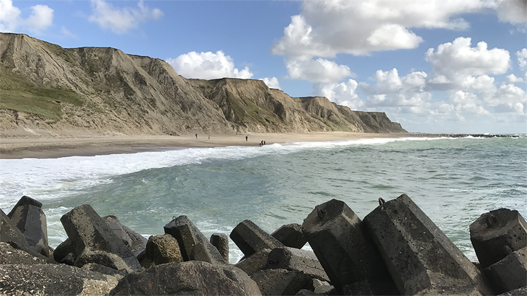
The Bovbjerg cliff and groyne in Vestjylland UNESCO Global GeoparkDuring the Quaternary period of Earth history, enormous ice sheets sculpted the impressive ice age landscapes that form the core of Geopark West Jutland. These landscapes mark the final period when the Earth was in a deep freezer and when the Scandinavian Ice Sheet extended from the mountains of Norway down to Denmark. In addition to the ice age landscapes there is a series of other landforms that developed after the end of the ice age by rivers and coastal processes, as well as by the powerful westerly winds thatcharacterize the west coast of Denmark. There are also remains of older geological deposits from the Tertiary and the Quaternary in some of the cliffs. The unique glacial landscape in western Jutland was mapped over 100 years ago by the geologist N.V. Ussing who identified, amongst other features, the Main Stationary Line as a marked boundary in the landscape between a hilly glacial landscape and flat outwash plains. This landscape developed as a result of repeated ice ages that each contributed to its formation. It was however, during the last ice age –the Main Advance that tookplace 23.000 -21.000years ago when the ice reached its maximum extent –that most of the landscape in the geopark was formed.The proposed UNESCO Global Geopark West Jutland holds 48 geosites which include:1 designated geosite of international importance:the Bovbjerg Cliff26 geosites which are situated fully or partly in 8National areas of Geological Interest12 geosites which are situated fully or partly in 5 ofthe National Coastal Landscapes. Additionally, the Geopark has also described 48 non-geological sites of natural, cultural and intangible heritage interest.
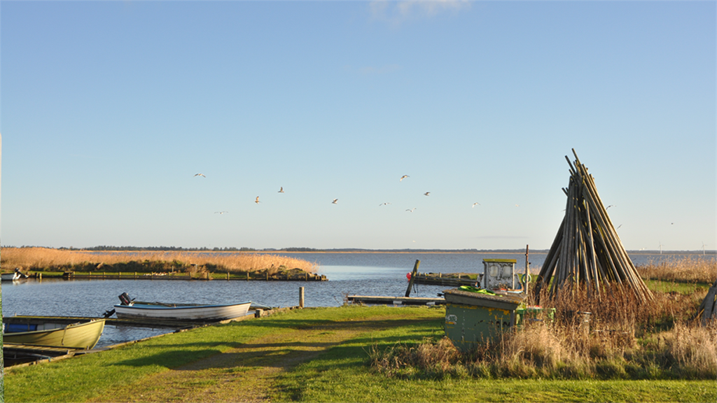
Geopark West Jutland is located in the Central Denmark Region and includes the three municipalities Lemvig, Struer and Holstebro, a part of the Limfjord and extends about 50 km offshore into the North Sea to also include part of the Jutland Reef. The Geopark has a total area of 4,759 km2. Of this, the land area makes up 1,560 km2, marine areas in the Limfjord covers 425 km2and marine areas in the North Sea covers the remaining 2,775 km2. In total Geopark West Jutland has 218 km coastline. 67% of the land area is used for agriculture and forests cover 13.8% of the area. Major lagoons and lakes in the Geopark are: Nissum Fjord (70 km2), Ferring Sø (3.2 km2), Kilen (3.34 km2), Flyndersø (4.18 km2) and Stubbergård Sø (1.5 km2). A section of the river Storå, which is the second longest river in Denmark runs across the Geopark from east to its outlet in Nissum Fjord to the west. To the east the Geopark borders on the Karup River. The Geopark area includes 13 Natura 2000-sites and 5 Nature and Wildlife Reserves.The highest point is Bavnehøj near Lemvig at 89.5 m above sea level and the lowest point is 2 m below sea level at the bottom of the drained lake Vestersø northwest of Lemvig.The population of Geopark West Jutland is 99,534 (2015). The biggest cities in Geopark West Jutland are Holstebro (34,873 inhabitants), Struer (10,261 inhabitants) and Lemvig (7,131 inhabitants). There are 29 other cities in the area whichin size vary from 200 to 3,000 inhabitants. Transport and trade together with Industry and raw materials are the dominating business sectors by number of jobs. Noteworthy is that the primary sector with forestry, agriculture and fisheries employs 7% -14% of the work force which is much higher than the national average of 4% for this sector.
