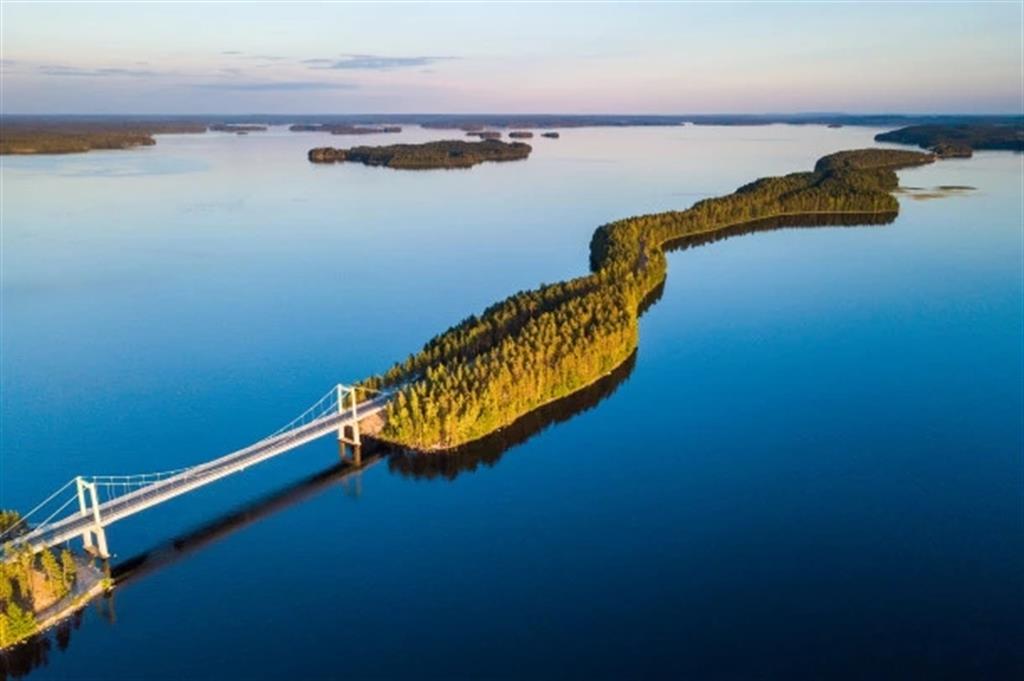

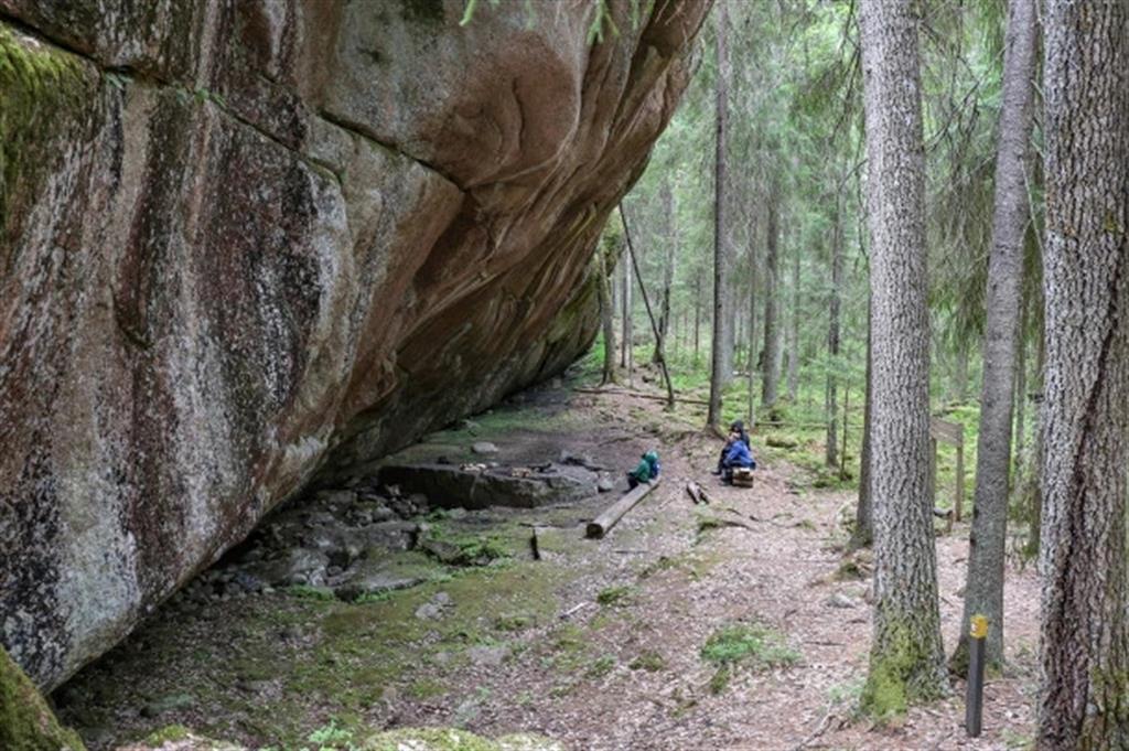
Home to around 177,000 inhabitants, the Salpausselkä UNESCO Global Geopark is located in southern Finland, in the southernmost part of the Finnish Lakeland, covering an area of 4,506 km². Around 21% of the geopark is covered by water and over half by forests. The hundreds of lakes in the geopark are a central feature of the landscape, along with the long, distinct Salpausselkä ridges. Extending over more than 600 km across southern Finland, the ridges consist of sediments deposited by glaciers. They bear witness to climate change, specifically to the the Younger Dryas, the cool period that lasted roughly from 12,900 to 11,600 years ago, and disrupted the Northern Hemisphere’s warming trend at the end of the Pleistocene Epoch (2.6 million to 11,700 years ago). Studied since the 19th century, these ridges constitute Finland’s best-known geological heritage set in a landscape formed by melting glaciers that created glaciofluvial landforms and rock formations that store an abundance of groundwater and provide the region with naturally high-quality drinking water.
