


The Jeonbuk West Coast UNESCO Global Geopark tells 2.5 billion years of well-exposed geological history in the western part of the country.
Jeonbuk West Coast UNESCO Global Geopark has already been recognized by UNESCO as a natural and cultural World Heritage property (Gochang, Hwasun and Ganghwa Dolmen Sites) and as a biosphere reserve (Gochang Biosphere Reserve). It has also been designated a Ramsar site for its exceptional wetlands (Gochang and Buan Tidal Flats).
Celebrating Earth heritage
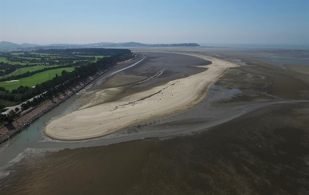
The vast tidal flats dotted with volcanoes and islands allow us to travel through time to piece together elements of the Earth’s history. The Korean word for tidal flats is ‘getbol’. The Gochang Getbol is one of 19 coastal wetland areas in the world with a tidal range greater than 5 m (macrotidal). Up to 40 m of mud sediment layers have been forming for 8,500 years, making this one of the thickest tidal sediment layers in the world, rich in sediments from the Holocene, which began 12,000–11,500 years ago. The Gochang, Hwasun and Ganghwa Dolmen sites contain the highest density and greatest variety of dolmens in Korea, and indeed of any country. Dolmens are megalithic funerary monuments, which figured prominently in Neolithic and Bronze Age cultures across the world during the 2nd and 1st millennia BCE.
Sustaining local communities
Jeonbuk West Coast UNESCO Global Geopark is home to about 10,800 people, and has a total area of 1,892.5 km² (1150.1 km² of land area and 742.4 km² of marine area). The tidal flats are the source of marine products such as salts, fish or seafood, which are the backbone of the area’s the economic prosperity.
