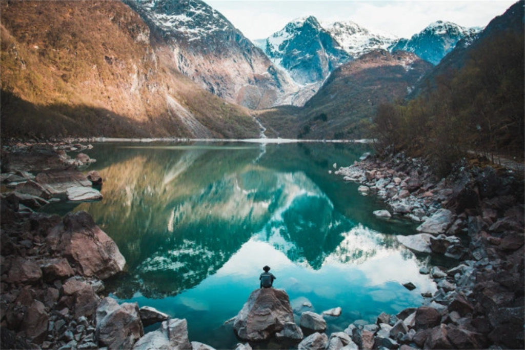
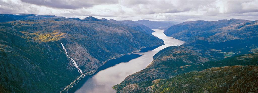
The landscapes in this geopark range from glacier-covered alpine mountains to archipelagos with thousands of islands situated on the strandflat along the coast. Total area of the geopark is 4,764 km², including a land area of 2,995 km² and a marine area of 1,769 km² (37%).
Celebrating Earth heritage
The geological landscape displays textbook examples of glacial erosion that occurred during 40 ice ages. The Hardangerfjord Fault separates a billion years of geological evolution. The geopark showcases how volcanic systems build continents: at the place where two tectonic plates converge, the compressed plate crumples before being uplifted to form a mountain range in a process known as orogeny. Two of the largest orogenic belts on Earth meet in the geopark. On the south side lie rocks related to a continental volcanic arc (1.5 billion years ago) and, on the north side, lies bedrock from the oceanic crust and an island arc system (500–450 million years ago).
Sustaining local communities
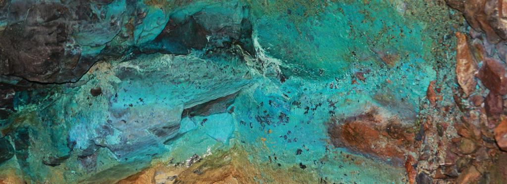
The Hespri islet was a quarry for greenstone axes in the meso- to neolithic period, during 5700 years. Since then geological resources have shaped the local societies in close relation with the alpine and marine ecosystems at the brim of the rough North Sea. They relied on marine resources, agriculture and mining. The mines extracted pyrite, copper, gold, soapstone, greenstone, rhyolite, jasper, chlorite shale, granite and marble.
It is currently home to 64,000 inhabitants. There are three visitor centres in the geopark presenting the area’s cultural and geological heritage accessibly and engagingly. Moster Amphi is based in a marble mine; the Folgefonn centre focuses on climate changes and the water cycle between the glacier and the fjord; the Sunnhordland Museum focuses on architecture and cultural heritage.
There are activities with children of all ages during the school year, and guided tours.
