Situated in the central part of Sumatra Island, the Merangin Jambi UNESCO Global Geopark comprises 12 out of the 24 sub-districts within the Merangin Regency, which forms part of Jambi Province, Indonesia. The region's topography encompasses lowlands on the eastern side and highlands on the western side, with the highest peak reaching an elevation of 2,900m above sea level on Mount Masurai.
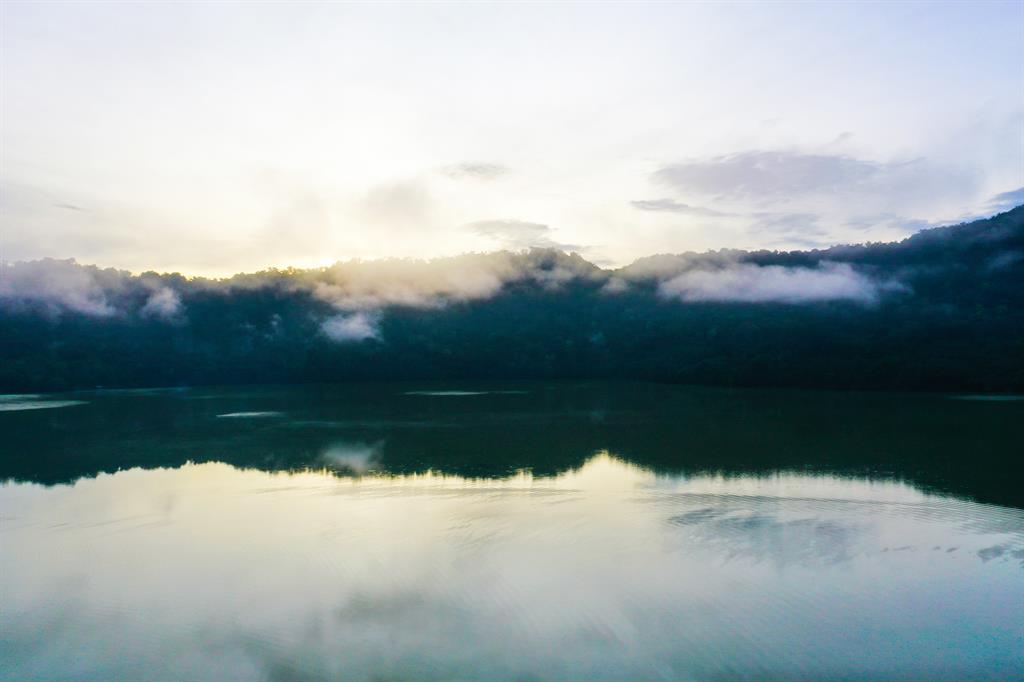
The exceptional geology found in Merangin Jambi UNESCO Global Geopark contributes to the stunning scenery, which holds significant conservation importance and is recognized as part of the World Heritage property known as the Tropical Rainforest of Sumatra (inscribed in 2004). This area is inhabited by over 4,000 plant species and 372 animal species, including several critically endangered species like the Sumatran tiger. The landscape encompasses diverse features such as karst formations, valleys, and mountains, which not only provide a habitat for various forms of life but also bear evidence of human civilization from ancient times to the present.
Celebrating Earth heritage
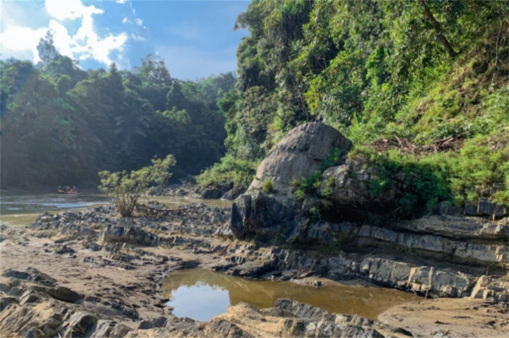
One of the primary geological attractions in the geopark is the Permian flora fossil deposits, which date back approximately 252 to 299 million years. These deposits originate from a remnant of Cathaysialand, a microcontinent that separated from Gondwana during the Permian period and later split into the North China and South China terranes. During the Devonian period, the South China and Indochina territories separated from Gondwana and eventually collided during the Carboniferous, forming a superterrane in the Permian. The Merangin Jambi Geopark houses evidence of these Cathaysialand fragments, including the Araucarioxylon and Agathoxylon fossils. The Merangin Jambi UNESCO Global Geopark is renowned for its unique fossilized flora, the last remaining and exposed specimens of their kind in the world. The Araucarixylon fossils exist within a lacustrine sediment environment and are accompanied by leaf fossils and shallow marine Fusulina fossils. Interestingly, these fossils are found in stratigraphic association with volcanic products such as agglomerate and basaltic lavas, believed to have originated from the Late Carboniferous or Pennsylvanian Carboniferous age (around 303 million years ago) in the Karing Palaeovolcanic area.
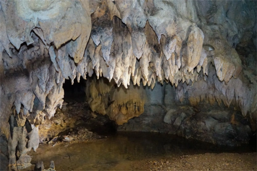
The Merangin Jambi Geopark features karst caves from the Mersip Peneta Formation, dating back to the Jurassic to Cretaceous period (approximately 164 to 100 million years ago). These caves, situated in the northwestern region, exemplify geological processes resulting from Ngalau Plate subduction towards the West Sumatra terrane, known as "Cathaysialand," and the continued obduction of the Woyla Arc during the early Late Cretaceous (100 million years ago). The caves in this karst area are significant archaeological research sites, as artifacts representing the Mesolithic era have been discovered there. Additionally, the geopark displays highland areas in its western part, including the Masurai Complex Volcanic of the Quaternary period. This region houses the last-known caldera on Sumatra Island and in Indonesia. The Masurai Complex Volcanic is linked to the Sumatran Fault System of the Dikit segment, which has been active since the Middle Miocene era and continues to the present day.
Sustaining local communities
In a continuous effort, the Merangin Jambi UNESCO Global Geopark, in collaboration with the local community, advocates for sustainable development, fosters fairness and prosperity, safeguards cultural heritage, and promotes indigenous knowledge, which serves as a valuable scientific legacy. The geopark serves as a platform for studying the past, present, and future. Consistently, the Merangin Jambi UNESCO Global Geopark supports the presence of indigenous communities who have inherited traditional forests and environmentally friendly farming practices, aimed at preserving water sources and soil fertility. They also actively participate in proactively addressing climate change by developing sustainable micro-hydro energy sources.
The communities and stakeholders within the Merangin Jambi Geopark play an active role in collaborating and establishing networks, utilizing conservation, education, and welfare as essential tools for geopark development. They implement educational programs, serving as partners in promoting geotourism and geoproducts within the Merangin Jambi Geopark.
