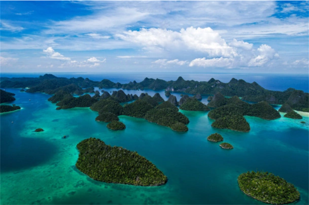
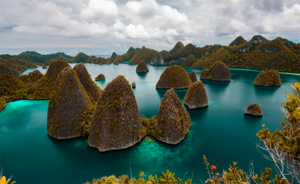
"The Emerald Karst in the Equator", Raja Ampat UNESCO Global Geopark, is made up of four primary islands, Waigeo, Batanta, Salawati, and Misool. The geopark area's well-preserved, unique, and scarce landscapes captivate visitors and entice them to delve deeper into the aesthetic value it offers. The geopark's geological structures, such as joints and faults that facilitate erosion and result in the formation of distinctively shaped limestone islands, are found in Wayag, Kabui, and the eastern islets of Misool.
Celebrating Earth heritage
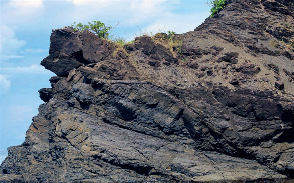
The Raja Ampat UNESCO Global Geopark area unveils the country's oldest rock formation, dating back 443.8–358.9 million years to the Silurian-Devonian era, nearly one-tenth the age of the Earth. This rock unit, along with the overlying Mesozoic rocks that include ocean floor ultramafics, forms the foundation of karstic limestones. Notably, karst topography flourishes in both old (Eocene) and young (Miocene-Pliocene) limestone units.
The archipelagic karst formation in Raja Ampat UNESCO Global Geopark is believed to have been influenced by rising sea levels during the Quaternary Period, followed by an ongoing process of karstification. This continuous karstification has resulted in numerous caves, some of which are located below sea level, making them renowned diving destinations. Additionally, prehistoric cave paintings created by early inhabitants of the geopark area several thousand years ago have been discovered on steep limestone cliffs and eroded cavities along the coastline, highlighting the intimate connection between geological and cultural heritage in Raja Ampat UNESCO Global Geopark.
Sustaining local communities
The Raja Ampat UNESCO Global Geopark was established through a collaborative effort, involving the regional government, local communities, and stakeholders. The geopark's focus lies in safeguarding various Earth's heritages, both geological and non-geological. This commitment strengthens conservation efforts and facilitates the transmission of these valuable heritages to students, local communities residing near geological sites, and geopark visitors. Education plays a crucial role in nurturing a sense of responsibility towards our planet and its diverse treasures.
