“For thousands of years people shaped a landscape that is of all ages”
De Hondsrug UNESCO Global Geopark is a large area covering almost the whole Eastern part of Drenthe and also a part of the province of Groningen.
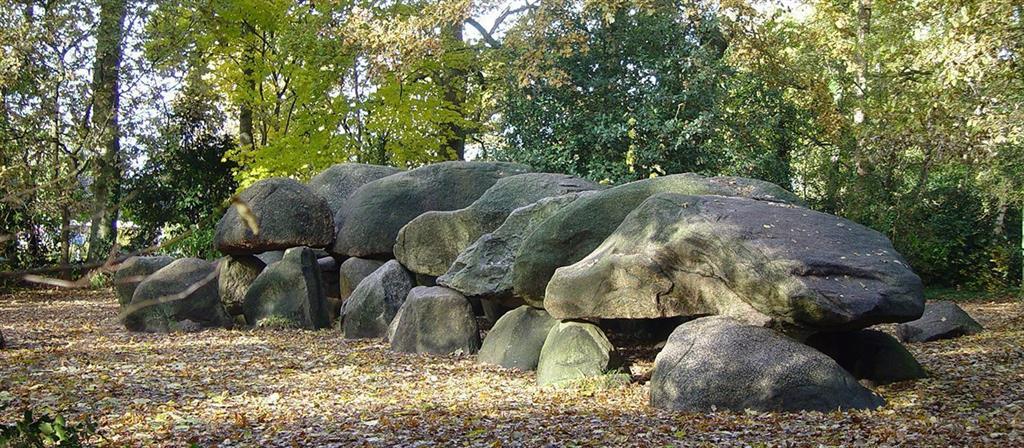
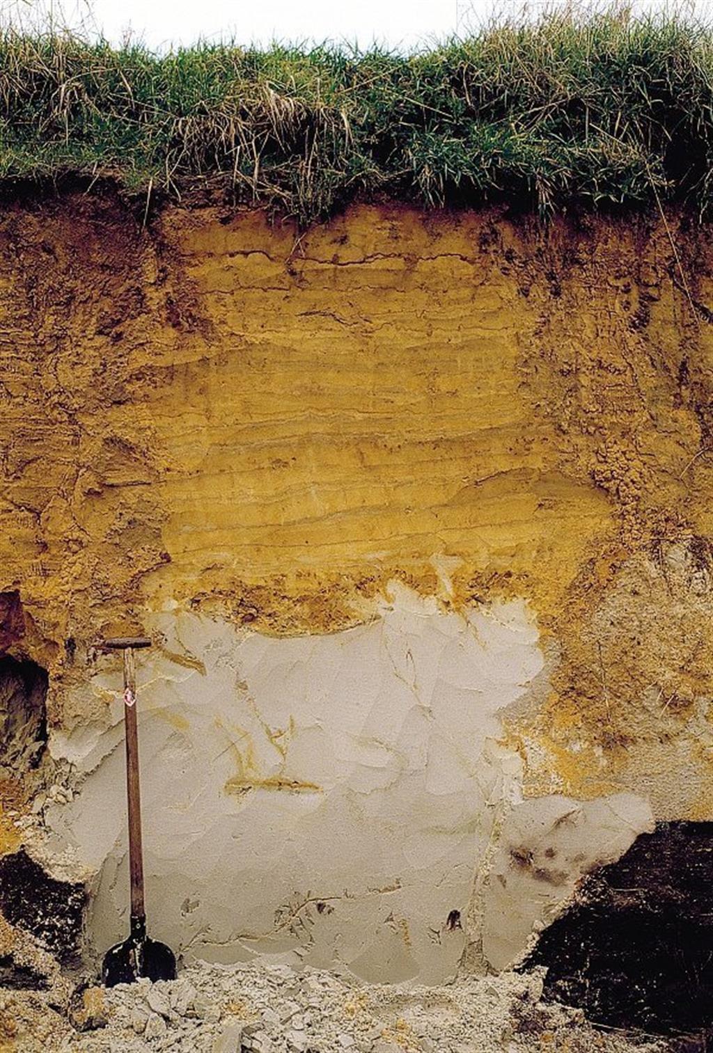
The Hondsrug area is not only a geological unique phenomenon within the Netherlands but also in a European context. De Hondsrug area is a geological complex of linear till ridges of about 60 km in length. It was formed during the Saalian glaciation about 150.000 years ago. During this Ice Age the north of the Netherlands was covered with a layer of ice of about one thousand metres thick. When, at the end of that period the ice was disappearing, a river of ice started to flow from the northwest (now the North Sea area) to the southeast over the northern part of the Netherlands all the way to the area of Munster in Germany. This ‘ice river’ cut deep furrows through the land. They formed the Hondsrug area and the ancient river valleys of the Hunze and the Drentsche Aa. The ridge exists of Saalian till, covered with Weichselian coversand. It is dotted with pingo remnants, dead ice depressions and erratics (with boulders coming all the way from Finland and Sweden, up to 40 tons).
Unlocking the regional story must begin with local residents, educational authorities and tourism. For that reason, the Geopark has established the Hondsrug Academy which, through lectures and courses, will shed light on the colourful origins and cultural heritage of this beautiful region. The countless stories about local inhabitants through the centuries will be shared through the use of guides, maps, a photo archive and film material.
De Hondsrug UNESCO Global Geopark offers a variety of educational materials relating to the Hondsrug, such as complete lesson series with teachers’ manual, students’ study materials, tips for excursions, films and photo material and puzzles. All the material on the site is free to use for schools and educational institutions. The Geopark week will be organised every year in May.