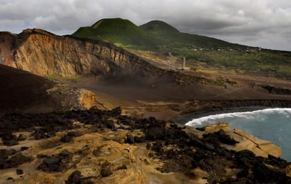
Celebrating Earth HeritageThe Açores UNESCO Global Geopark is located in the North Atlantic Ocean between the European and American continents at a distance of 1,815 km from the Portugal mainland. The Global Geopark area is 12,884 km2, including the 2,324 km2 of the 9 islands territory and 10,560 km2 with 4 marine geosites of international to national relevance. The archipelago is a Portugues...
Celebrating Earth HeritageThe Arouca UNESCO Global Geopark is located in northern Portugal and coincides with the area of the Arouca Municipality. This territory is located on the western border of the north sub-plateau of the Iberian Peninsula, and is characterized by mountains carved by narrow valleys. The average altitudes range from 200 to 600 m but exceeds 1000 m in Freita (1100 m) and Montem...
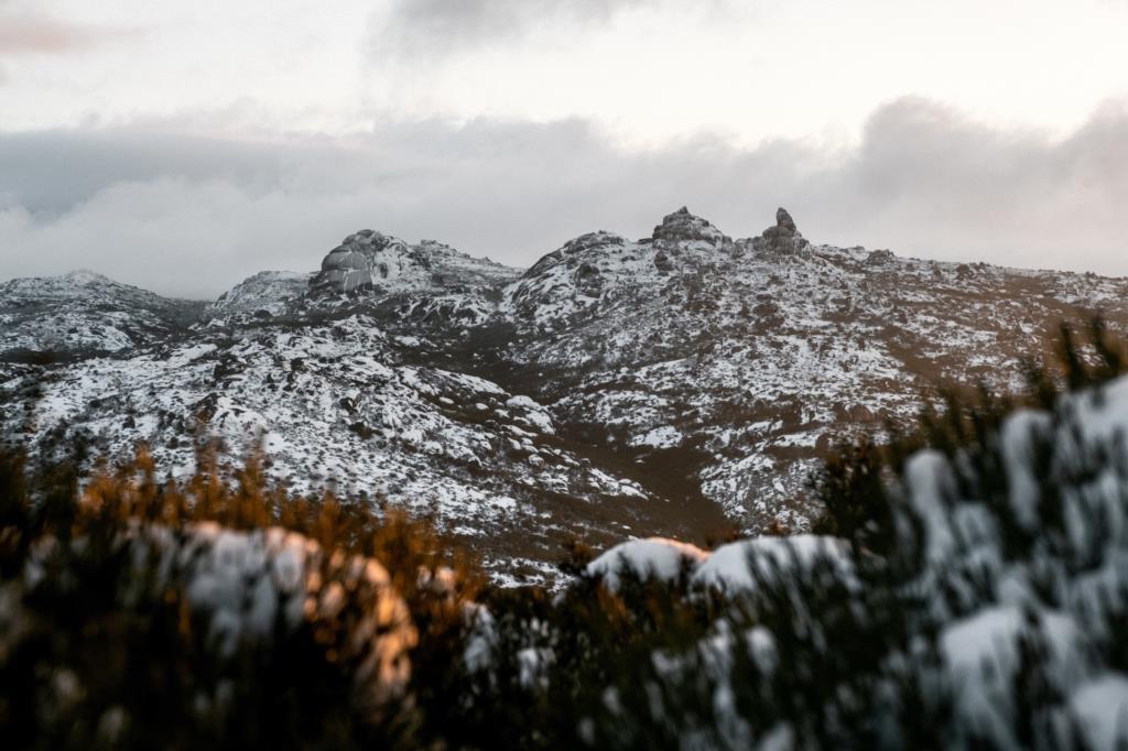
Celebrating Earth HeritageThe Estrela Geopark’s geological History dates back to the Precambrian (+541 Ma), with the Schist Greywacke Complex, a sequence of alternating schists and greywackes that originated from the deposition of sediments in marine environments. The Variscan orogeny deformed these metasediments, which were later affected by the intrusion of granitic batholiths in late orogenic s...
Celebrating Earth HeritageNaturtejo da Meseta Meridional UNESCO Global Geopark is located in the centre of Portugal, near the border with Spain. The UNESCO Global Geopark is located in the so called Southern Iberian Meseta, a polygenetic peneplain cut by the Tagus river into a deep valley at the south and bordered on the north by the Central Iberian Belt. The landscape is composed of a wide plain ...
Celebrating Earth HeritageThe Terras de Cavaleiros UNESCO Global Geopark is located in the northeast of Portugal. The territory’s dominant altitudes range between 400 and 800 m, with the Nogueira mountain as its highest peak (1320 m) and the Sabor River as the lowest point (200 m). Another river was dammed to create the artificial lake of Azibo’s Lagoon which is classified as protected landscape a...